 German (DE)
  English (US)
  Spanish (ES)
  French (FR)
  Hindi (IN)
  Italian (IT)
  Russian (RU)
  3 weeks ago
When you buy through links on our articles, Future and its syndication partners may earn a commission.

An artist's illustration of a GHGSat methane-measuring spacecraft in orbit. | Credit: GHGSat
When it comes to greenhouse gas emissions, carbon dioxide gets the lion's share of global attention.
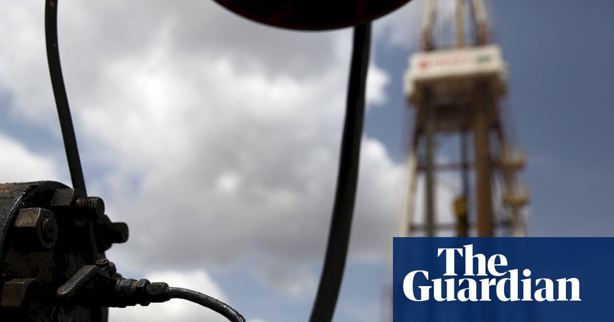
But methane is the second-largest contributor to human-caused global warming. A high proportion of methane emissions comes from the energy sector, often from concentrated "point sources" such as flare stacks, coal vents and open-pit mines. To help reduce those emissions, we must first identify the major culprits — and new satellite data is helping us do just that.
Using high-resolution observations from the GHGSat satellite constellation, researchers have produced a global, facility-level view of methane emissions, identifying thousands of individual oil, gas and coal sites that are releasing the greenhouse gas into Earth's atmosphere.
"This is the first global gridded estimate of annual methane emissions from facility-scale measurements, an advancement in measurement-based accounting that is due to the comprehensive scale of GHGSat's satellite constellation to measure methane worldwide," said Dylan Jervis of GHGSat Inc., lead author of a new study on the findings published Dec. 11 in the journal Science.
"This information will be useful to improve understanding and predictions of methane emissions, and, therefore, provide information that is useful to direct mitigation efforts," Jervis told Space.com.
Traditionally, scientists have measured methane emissions with a mix of bottom-up inventories, which estimate emissions based on industry activity but can miss short-term fluctuations like leaks, and top-down atmospheric measurements, which detect methane concentrations directly but lack the resolution to pinpoint specific sources. Neither can paint a very precise picture of global methane emissions from the energy sector. But the GHGSat constellation, run by the Canadian company GHGSat, bridges that gap by combining meter-scale spatial resolution with global coverage.
Analyzing GHGSat observations of methane plumes collected in 2023, the team estimated annual methane emissions from 3,114 oil, gas and coal facilities worldwide that totaled about 9 million tons (8.3 million metric tons) per year.

Example GHGSat methane plumes, detected from a coal vent, oil & gas flare stack, and open-pit coal mine. | Credit: GHGSat
Geographically, the biggest emitters stood out clearly in the satellite data. "The countries where we measure the largest oil and gas methane emissions are Turkmenistan, the U.S., Russia, Mexico and Kazakhstan," said Jervis. "The countries where we measure the large coal emissions are China and Russia."
While bottom-up inventories are fairly good at estimating methane emissions on such large scales as countries, they aren't nearly as precise when you zoom in. "We found moderate agreement between GHGSat-measured emission estimates and bottom-up inventory predictions at the country level, but very little agreement at 0.2 degree x 0.2 degree [about 20 by 20 kilometers] spatial resolution," Jervis said. Thus, effective change may need to happen at the facility level, not at the country level.
The researchers tracked how often individual facilities emitted detectable methane plumes, a metric they call persistence.
"Persistence of emissions depends more on sector than region," said Jervis. For coal facilities, methane plumes were detected about half the time on average. Oil and gas sites, by contrast, were far more intermittent, emitting detectable methane in only about 16% of satellite observations on average. That variability makes oil and gas emissions especially difficult to capture with infrequent monitoring.
For the most accurate and actionable methane estimates, detailed surveys like the ones provided by GHGSat are crucial — which is why GHGSat is growing its constellation. Two new satellites were launched in June, and two more in November, bringing the company's total to 14 satellites. "This will enable better coverage, both spatially and temporally, allowing us to detect more emissions and monitor them more frequently," said Jervis.


Comments